
Shikoku
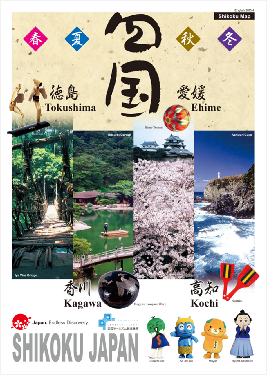
Shikoku
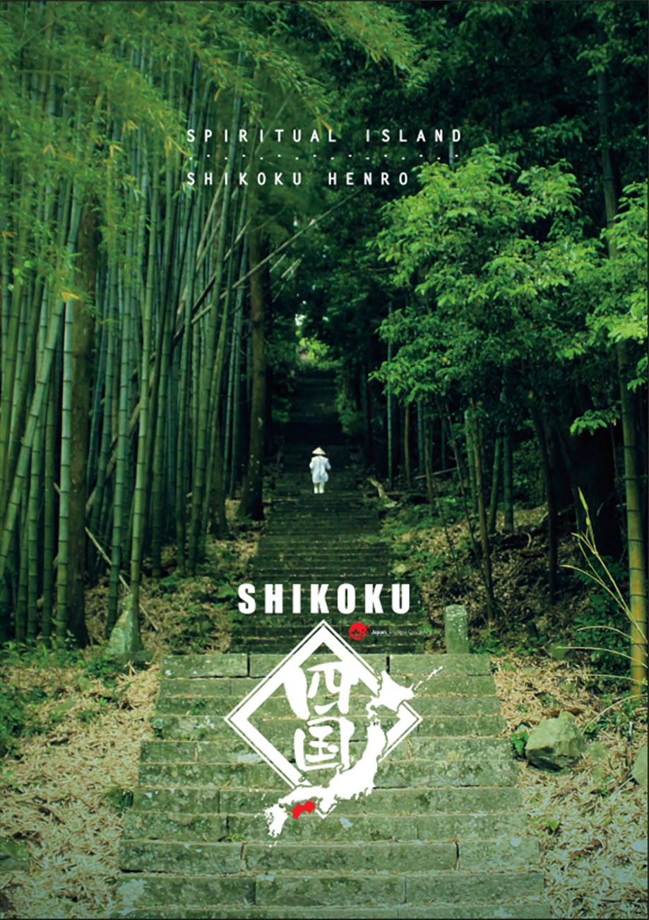
Spiritual Island Shikoku
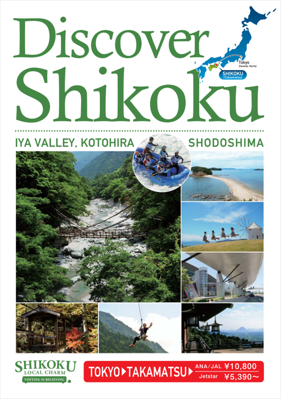
Discover Shikoku
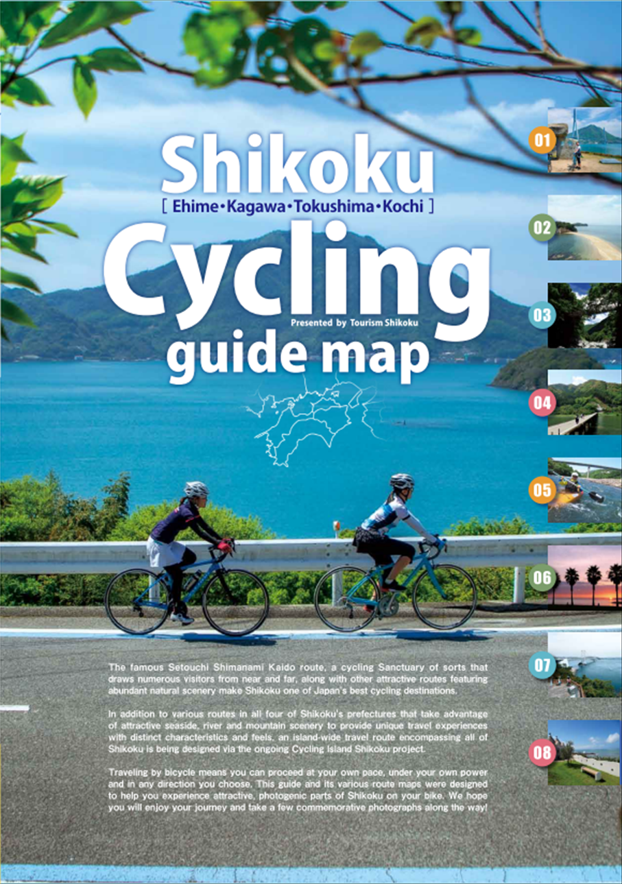
Shikoku Cycling guide map
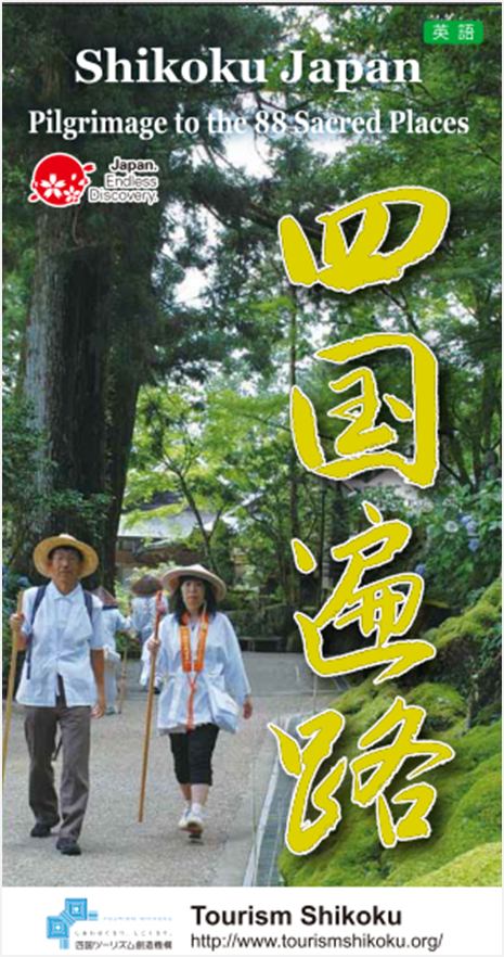
Shikoku Henro
Tokushima Prefecture
Tokushima Sightseeing
Discover Tokushima
Experiencing Tokushima
Tokushima What's Fun_1
Tokushima What's Fun_2
Tokushima What's Fun_3
Tokushima City
Iya Area
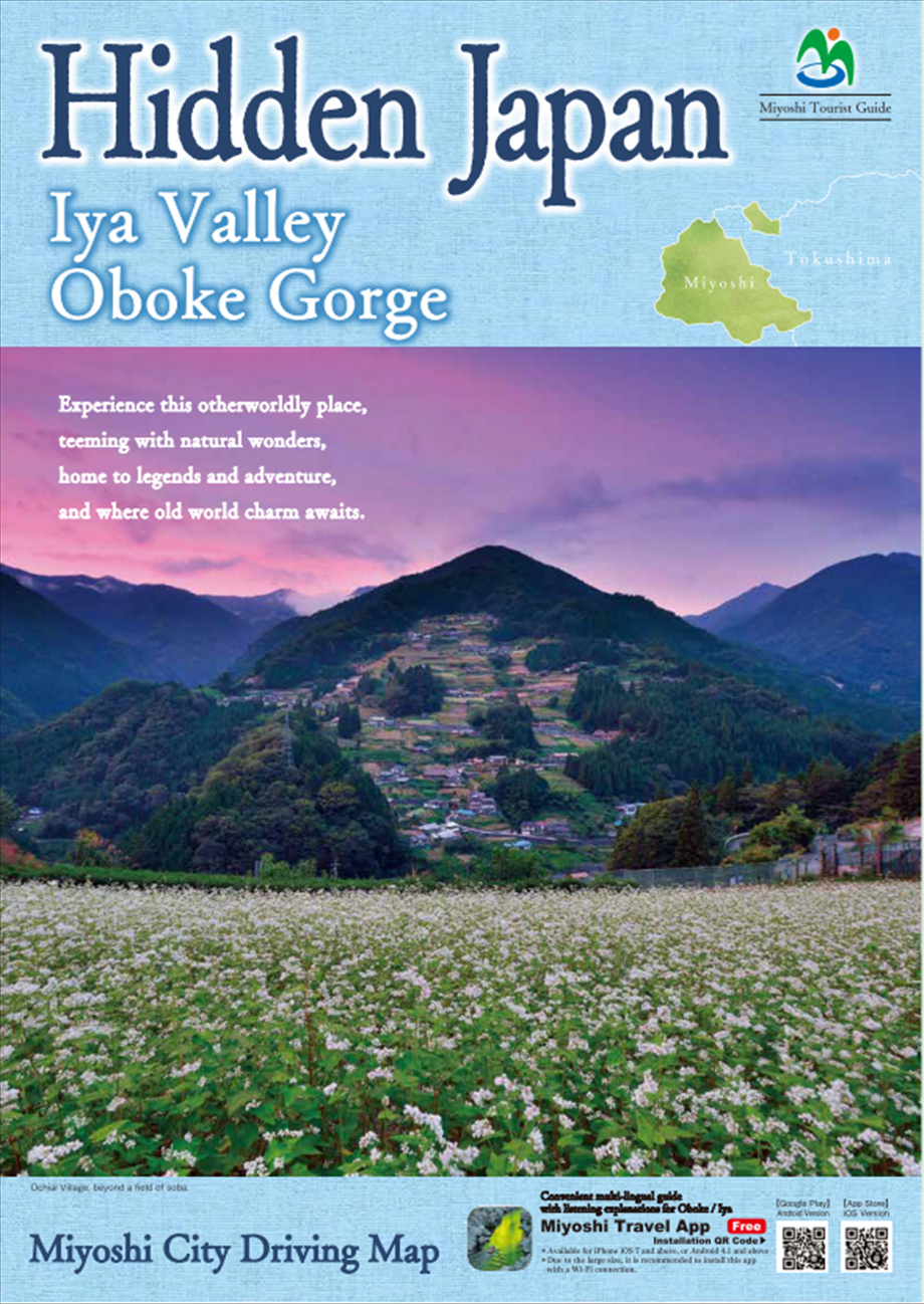
Iya Guide

A thousand years, a hidden hamlet
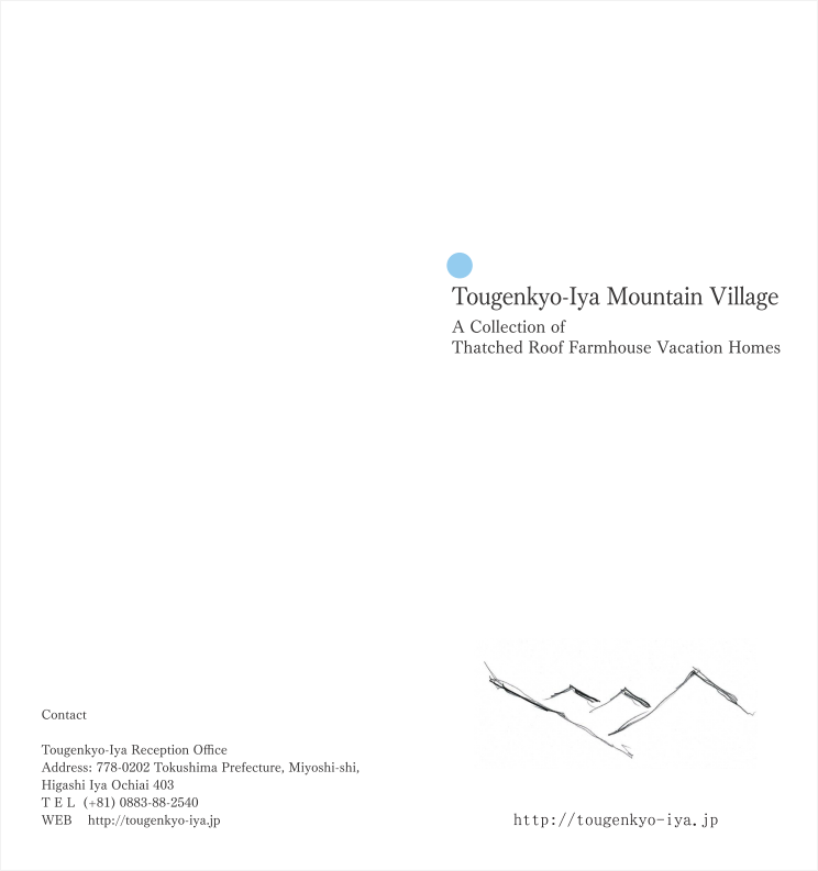
Togenkyo-Iya Mountain Village

Agriculture and Living
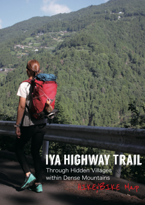
Iya Highway Trail
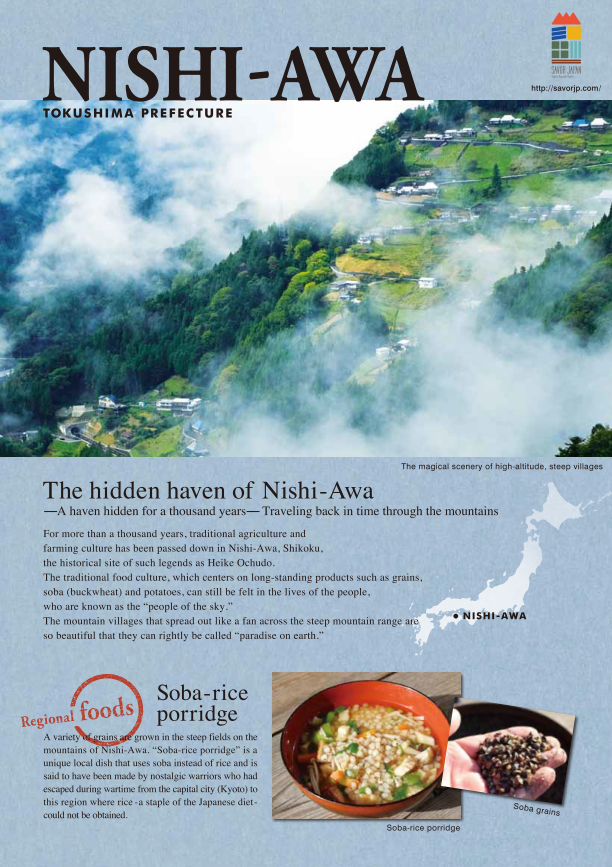
Nishi-Awa Guidebook
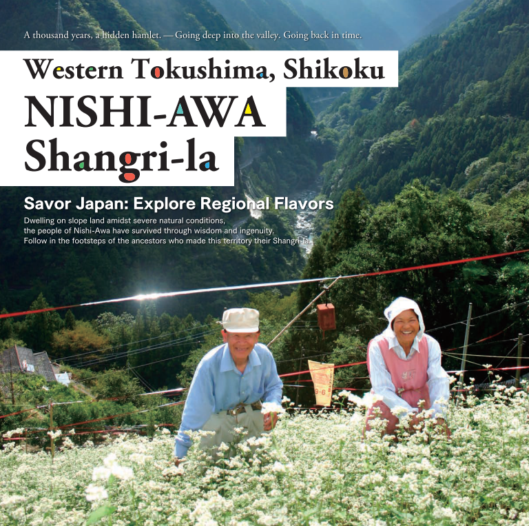
Savor Japan
Naruto Area
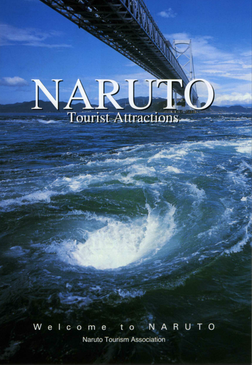
Naruto